
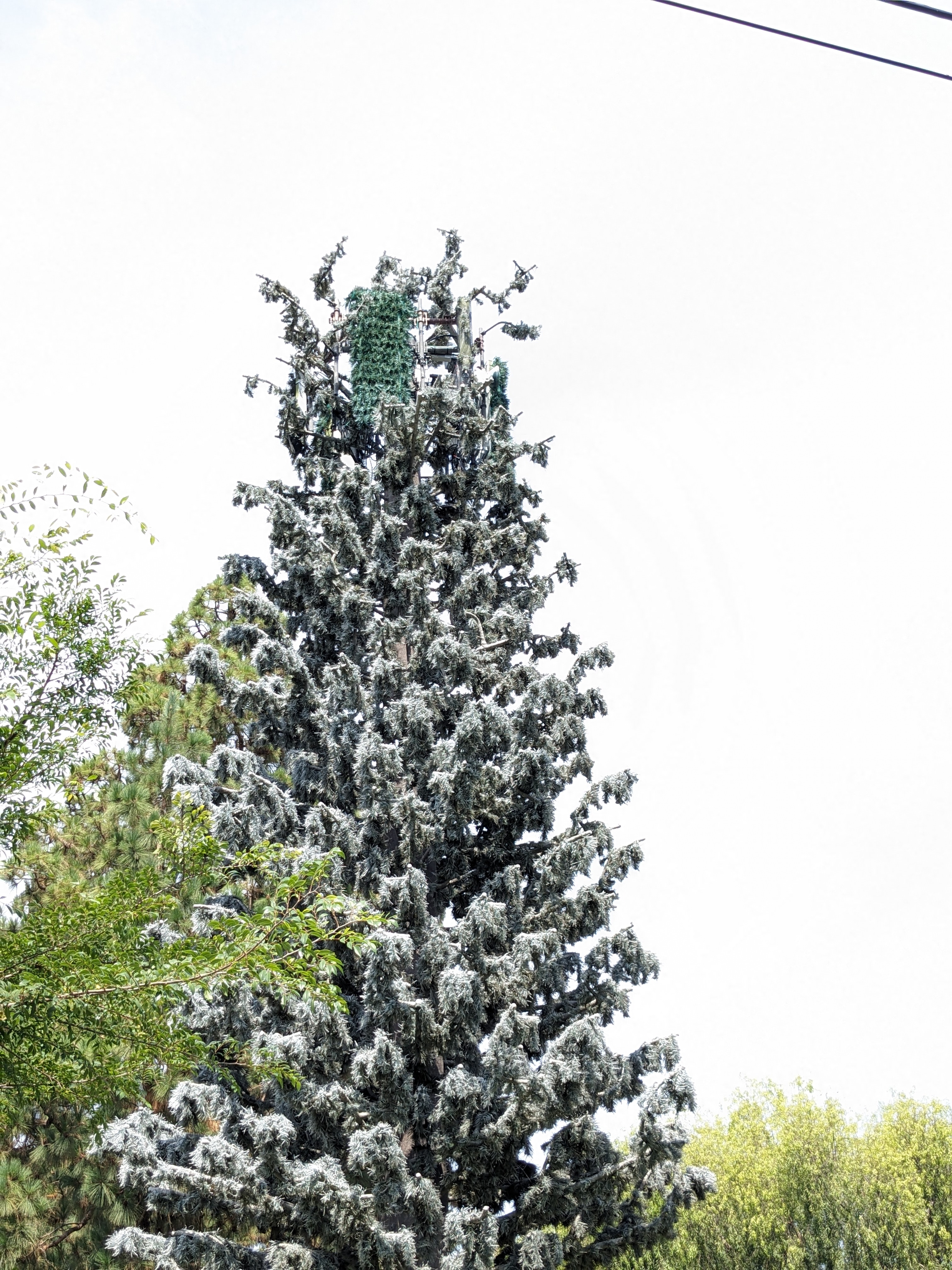
Hey folks, I found this tower in Socal that’s tagged as T-Mobile on the map, but walking around it, doesn’t seem to broadcast T-Mobile or AT&T LTE as seen by my Pixel 4a.
Location: 33.6912733, -117.9781491
Currently tagged as eNBs 191435 and 96964 on CellMapper.
I’m wondering if this might be a Verizon or Dish setup? Or perhaps legacy of some sort? Any ideas?
Here’s a photo of the base as well.

Edit: here’s an album with more photos: https://imgur.com/gallery/ocEoS9O
Also, I looked at my CellMapper CSV history, and I saw this tower last year (2022) at this time (on vacation here) but this year (2023) I am walking all over the area and not seeing it. To me this suggests that perhaps it’s gone to Dish.
You must log in or register to comment.