- 161 Posts
- 286 Comments

 101·27 days ago
And here is the chart to follow the progress:
https://taginfo.openstreetmap.org/tags/natural=tree#chronology
We should see a saturation arround 3 trillion trees. (1)
You can easily help achivieving this goal by reworking natural=tree_row and adding single natural=tree into natural=wood areas :) I know, some say this is discouraged, but we really need to map EVERY TREE!
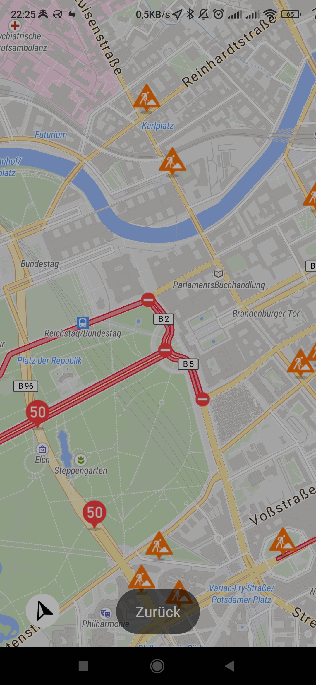
The person to the right?

 51·28 days ago
Dann solltest du es kennzeichnen, siehe https://www.openstreetmap.org/copyright
Sometimes I even think about adding a Google Maps Link to POIs, because of Reviews. The reviews helping a lot to know what to expect from a POI before visiting them.
Thankfully there is no established tag yet.
 1·2 months ago
Is this an upgraded seed!?
Next Challenge:
Huntress, put every Scoll of Upgrade into the studded gloves
Krankheitserreger
I registered an app in openstreetmaps.org with that and nothing changes.
No, there is no need to manually register an app. This is the feature when develope a new app by yourself to make it known to openstreetmap.org
Would I be wrong in assuming the redirect uri needs to be the one I got in the error message popup when trying to sign in through the app
not sure. If you don’t have another phone to test, maybe you can try testing the login with another openstreetmap app like StreetComplete, Vespucci or Organic Maps?
When login through the plugin the browser should pop up where you need to confirm the login on openstreetmap.org. (i think this process is called OAuth)
You can then check if this is succesfull on https://www.openstreetmap.org/oauth2/authorized_applications
You should see OsmAnd there and how many days the login procedure was performed.
If this is succesfull, then its a problem with OsmAnd. If you have another old Android you can maybe try around several times with reinstallation?
I also run into this issue several times. I could solve it by redo the login in the OpenStreetMap plugin setting
Hi @activistPnk, you have some good ideas and you can directly start contributing to it.
The OpenStreetMap Database is a very flexible and open key-value store. Everybody can add any values to the Database even when they are not documented yet. This is how we came so far and successful with OpenStreetMap. This journey continues as long as enough people contributed their ideas to OpenStreetMap and try to find consens with the other mappers for common meanings.
So for a lot of examples you mentioned there are already established keys:
name=* brand=* operator=* network=* fee=* charge=* currency:EUR=yes/no currency:USD=yes/no currency:GPB=yes/no cash_out:notes:denominations=* cash_withdrawal:limit=* indoor=yes/no opening_hours=*
For your other information you can just invent new tags and use them. Maybe then more people will jump on them. Best practice is, to regularly visit taginfo.openstreetmap.org for used keys and values. Also wiki.openstreetmap.org is useful to documente used values. And vote for things in Proposals, when different solutions are competing against each other.
The most annoying thing when adding POIs with Osmand for me is, that the POIs are disappearing when uploaded.
The POIs are only coming back after map update which takes couple of days or weeks.
That means its impossible fix an error on the new POI. Another editor needs to be used then. I use Vespucci in these cases.
How is the connection between OpenStreetMap POIs and Mangrove Reviews? How does a map user find the reviews for a specific POI?
I was checking out https://mangrove.reviews and it seems that it is using Name+GeoCoordinates to identify an POI.
@pietervdvn: cool, did not know that page. Where is it uploading to?
 4·2 months ago
Eventuell könen die Schulen auf eine Open Source Alternative umsteigen, z.B. https://www.ev3dev.org/
ev3dev is a Debian Linux-based operating system that runs on several LEGO® MINDSTORMS compatible platforms including the LEGO® MINDSTORMS EV3 and Raspberry Pi-powered BrickPi.
Ich hoffe, dass die Bildungsträger daraus lernen und in Zukunft bei Software von Anfang an auf OpenSource Lösungen setzen.
While StreetComplete is very careful with the quests, my experience with SCEE was much worse. As an example, with current SCEE 58.2 the building color quest is still buggy. The brown, black and white choices are showing wrong colored illustrations.
Therefore SCEE is not a recommendation for me.


Super Bild, aber wo hast das her? “Internet” ist doch sehr wage. Es sieht schon realistisch aus aber könnte auch eine Fotomontage sein.
True! And the “Chronic” feature on www.openstreetmap.org is not really helpful for searching deleted nodes.


Unfortunately most of the species tagged trees are mass imported and not mapped by a real mapper.
I try often to map species or genus but there is no good mobile app for this task yet.